Si Pandu Application
Integrated Map-Based Disaster Reporting Application

Project Overview
A public reporting application for a specific region, allowing users to report natural disaster incidents directly through a map interface. Incoming reports can then be viewed and processed by local authorities for faster and more coordinated response.
This project was developed to accelerate communication between the public and the government during disasters. With 'Si Pandu', citizens can easily mark incident locations on a map, upload photos as evidence, and track the status of their reports. Meanwhile, the government gains access to a centralized dashboard to verify and manage all incoming reports, enabling a more structured and efficient response to emergencies.
Technologies Used
Challenges
- Ensuring the accuracy of GPS location data submitted by users
- Building a reliable real-time notification system for emergency reports
- Designing two distinct yet integrated interfaces: one for reporters (citizens) and one for admins (government)
Solutions
- Integrated Google Maps API for geolocation data retrieval and validation
- Used push notification services via PocketBase to send instant alerts to the admin dashboard
- Designed separate user flows for each role (user and admin) within the Flutter application
- Provided a photo upload feature as visual evidence to aid report verification by the government
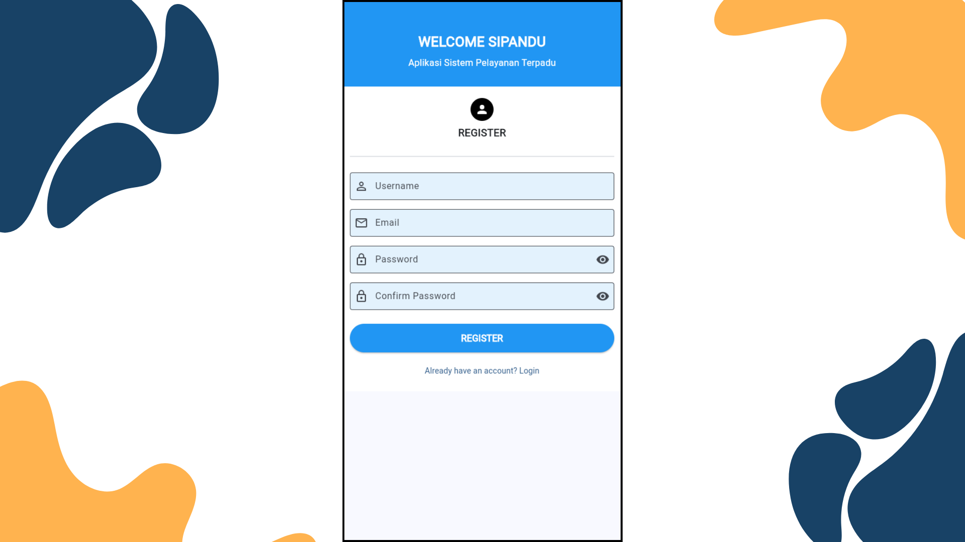
Project Gallery
Project Details
Client
Conceptual Project for Local Government
Duration
3 Months
Year
2025
Category
Mobile & Public Services
Key Features
- Interactive Map-Based Disaster Reporting
- Submit Reports with Photo Attachments and Descriptions
- Report Status Tracking (Received, In Progress, Resolved)
- Admin Dashboard for Government to Verify & Manage Reports
- Real-Time Notifications for New Reports and Status Updates
- User Report History